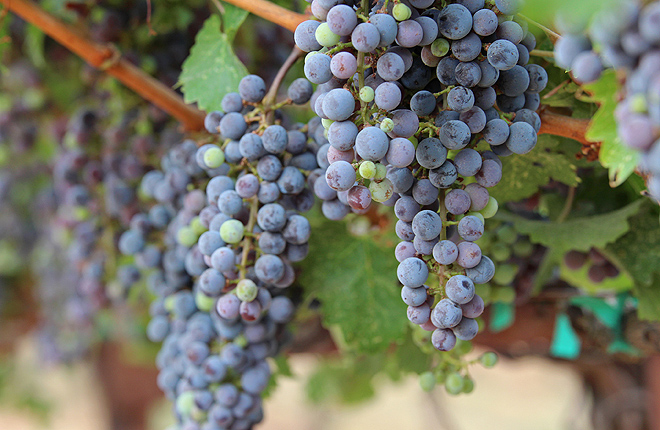
ARS scientists developed computer models that use satellite data to map grapevine water use and stress. ARS is collaborating with E&J Gallo Winery to evaluate the models. (Jessica Griffiths, D3880-1)

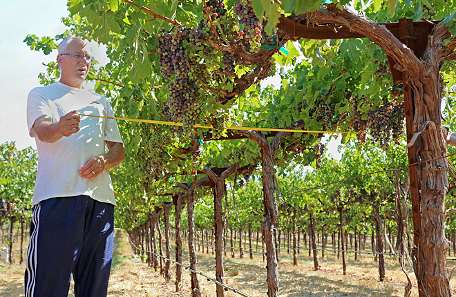
ARS hydrologist Bill Kustas measures grapevine canopy width at a California vineyard to help evaluate satellite data used in models of vine water use. (Jessica Griffiths, D3883-1)

ARS scientists found a way to reduce poultry litter fertilizer use and maintain yields in Mississippi cotton and corn. (John P. Brooks, D3875-2)


