New Apps Provide Soil, Land, and Climate Data
Knowledge of their local soils and climate is critical for farmers to match best farming practices to specific soil types—a harsh lesson learned in the last century from the “U.S. Dust Bowl” experience. During the 1930s, farmers in the U.S. Southern Plains applied farming methods that were mismatched with the region’s dryland conditions. The practices loosened the region’s drought-ridden dryland, exposing soil to severe wind erosion. The dust storms that resulted wreaked havoc for more than a decade.
Today, feeding the world’s 7 billion people while also protecting land resources is still a challenge for land managers. Food production based on well-matched farming techniques that protect the environment, public health, and animal welfare is the cornerstone of sustainable agriculture.
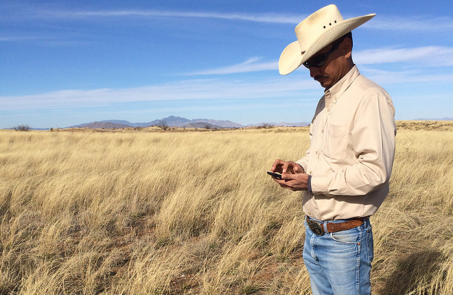
A team led by Agricultural Research Service (ARS) soil scientist Jeffrey Herrick has developed an innovative cloud computing platform and suite of mobile apps to give farmers and land managers information they need. The Land-Potential Knowledge System (LandPKS) “identifies—and in the near future will deliver—knowledge relevant to specific soils to anyone with a mobile phone,” says Herrick, who is based at the ARS Range Management Research Unit in Las Cruces, New Mexico.
The LandPKS mobile app, which includes the LandInfo and LandCover modules, taps cloud computing, digital and traditional soil-mapping, and Global Positioning System (GPS) data to provide information on the sustainable potential of land under current and future climate conditions.
The current version of the LandInfo module allows the user to collect soil and site topographic data, while the LandCover module is used to document ground cover, vegetation height, plant density, and spatial patterns of vegetation affecting soil erosion. Domestic and international development organizations and land-management agencies are already using the app to crowd-source the local information needed to inform management decisions.
“The current apps can already help U.S. urban and small-tract land managers describe their soils without soil science training,” says Herrick. Other potential users include land managers, farmers, extension service agents, and people interested in knowing more about their land. Travelers may also use the app to get local climate data anywhere in the world.
The LandPKS app is geared to collect and store data derived from users at a specific given site. The collected information is housed in a centralized, open access database and becomes part of a data system that will in the future identify management options for sites having similar topography, soils, and climatic conditions.
The app is available for free download at LandPotential.org, Google Playstore, and the iTunes App Store (by searching “LandPKS.”)
Major funding support for LandPKS is provided through a cooperative agreement with the United States Agency for International Development.—By Rosalie Marion Bliss, formerly with the ARS Office of Communications.
Key Facts
- New mobile apps provide information about local soils and climate.
- The information helps support better land management.
- The LandPKS app is now available for free download.
Full Story


